- Province: Western Cape
- Coordinates: 33.9795°S 18.5068°E
- Area: 0.73 km
- Municipality; City of Cape Town
Crawford lies in the southern suburbs of Cape Town on the Cape Flats. It is bordered by Athlone, Lansdowne, and Rondebosch East, and forms part of the City of Cape Town metropolitan area. The suburb is primarily residential, with schools, mosques, churches, and small commercial areas serving the local community. Crawford is accessible via Klipfontein Road (M18) and other connecting routes linking it to central Cape Town and surrounding suburbs.
History of Crawford
Crawford is a mixed suburb to the East of the city centre on the Cape Flats railway line. Its history dates back to the 19th century, when the area was primarily rural and consisted of farmland. It gradually developed into a residential area as Cape Town expanded. The suburb takes its name from Sir Thomas Crawford, a prominent figure in the 19th century who played a significant role in the region’s development. During this period, the area attracted a mix of European settlers, freed slaves, and other groups, contributing to its diverse cultural and social landscape. During the apartheid era, the upper side was declared a “whites-only” area.
The postcodes for Crawford are 7780 (Streets) and 7770( Boxes)
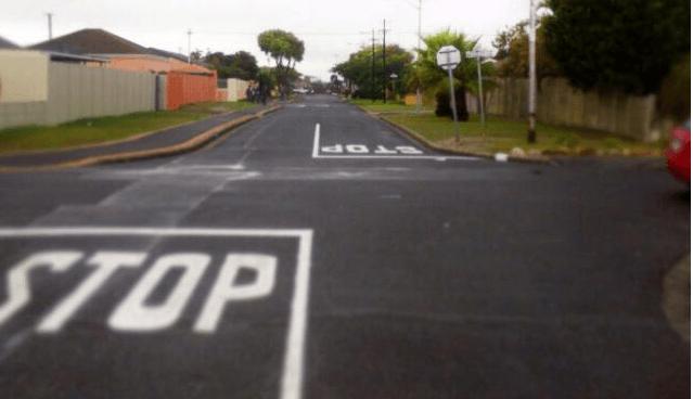
Transport
Crawford is served by Metrorail, Golden Arrow Bus Services, and minibus taxis. See linked pages for details. Other options for getting around the Western Cape.
Things to do and see in Crawford
-
- Trojan horse memorial for those killed in 1985
Resources
For permits, fishing rules, shell collecting regulations and other practical outdoor information, see the Colourdots coastal and nature use guide
local WEATHER TODAY
Browse businesses and places to visit in Crawford

Useful Numbers in Crawford
Residents and visitors can find important local contact numbers below, including police, medical services, utilities, and community facilities
-
Emergency Services
- Police: Athlone 021 697 9200
- Fire: Gugulethu 021 480 7700
- Ambulance: 10177
-
Medical
- Closest hospital: Hood Road Medical Centre 021 836 9455
- Pharmacy; Vitacare Pharmacy Kromboom-021 696 7880
-
Municipal & Utilities
- Water: 0860 103 089
- Electricity: 0860 103 089
-
Transport & Roads
- Traffic department: Goodwood-021 696 7880
- Road Emergencies / SANRAL: 0800 204 204
-
Community & Safety
- NSRI 087 094 9774
- 24 hour Poisons Information Helpline of the Western Cape: 0861 555 777.
- SPCA: Cape Of Good Hope 021 700 4140
-
Local Contacts and Community Resources
- Belthorne Recreation Centre: 021 444 0410
- Library: Athlone 021 696 6250
- Post office; Athlone 021 697 1201
-
Schools In Crawford
- Thornton Road Primary 021 697 1938
- Alexander Sinton Secondary School 021 697 1350
Other Cape Flats towns and suburbs include: Athlone; Atlantis; Belhar; Blue Downs; Delft; Eerste Rivier; Epping; Grassy park; Hanover Park; Khayalitsha; Kuils River; Langa; Lansdowne; Lotus river; Macassar; Mannenberg; Mitchells Plain; Nyanga; Ottery;and Philippi
- Colourdots is an independent regional information resource for the Western Cape.
Learn more about the project HERE