- Province : Western Cape
- Coordinates 33°54′40.72″S “18°33′02.13″E
- Area 17.94 km2
- Municipality City of Cape Town
Jump to:History of Goodwood |Things to See and Do in Goodwood |Useful Numbers in Goodwood
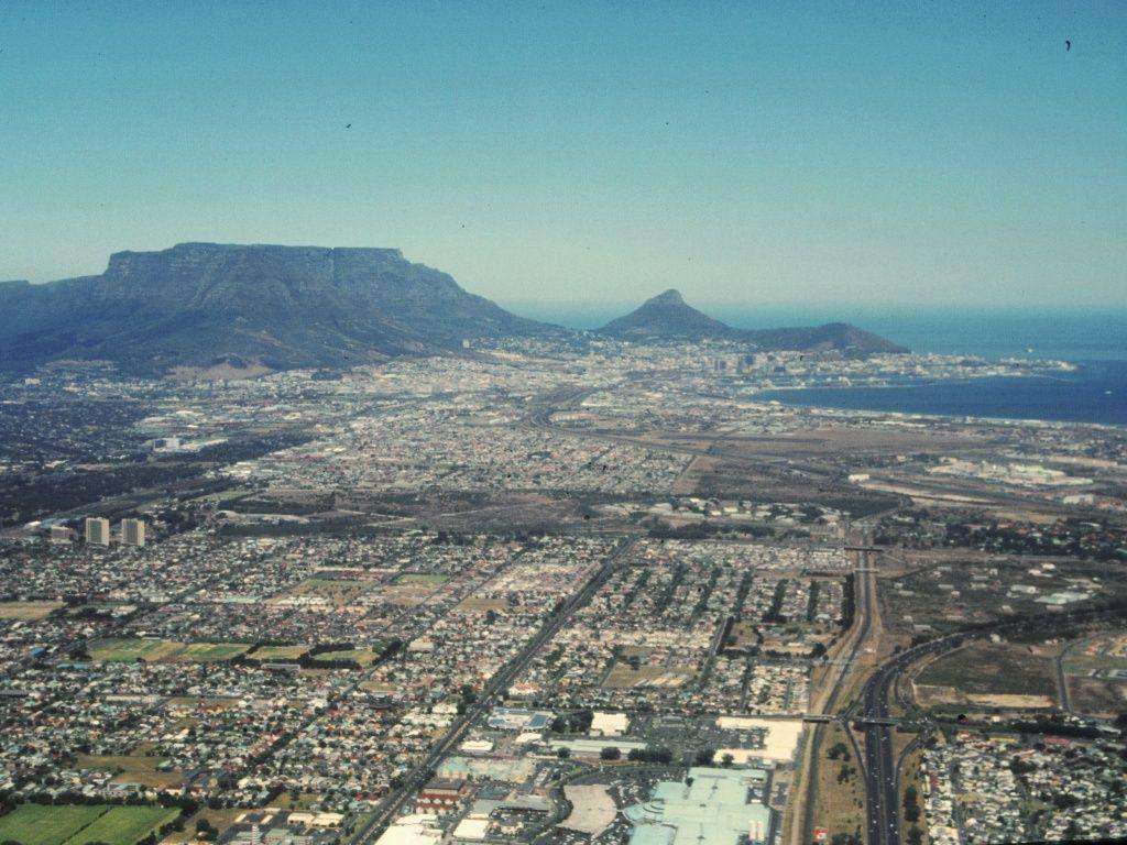
Goodwood is a suburb of Cape Town, located approximately 15 km east of the city centre. It lies along the N1 and N2 highways, bordered by Parow, Thornton, and Monte Vista, and features a mix of residential, commercial, and light industrial areas.
History of Goodwood
Goodwood, which was established in 1905, was named after the racecourse in England. The founders had high hopes of building a racing centre, but even though a racecourse was built, only one race meeting was ever held there.
The first railway station was built soon after the town was established. It became a municipality in 1938, and the townships of Elsie’s River and Monte Vista were included in the municipality between 1944 and 1946. In 1969, Edgemead was added. Due to the areas surrounding where working-class people lived, the suburb was ideally placed for industrial development.
The postcodes for Goodwood are 7460 (streets) and 7459 (boxes)
Transport
Goodwood is served by Metrorail Golden Arrow Bus Services, and minibus taxis. See linked pages for details. Other options for getting around the Western Cape.
Things to See and Do in Goodwood
- Gregory Park Outdoor Gym Rohm Street
- Wonderland N1 City Mall Arcade machines and children’s rides 0215951725
- Grand West casino, ice skating rink and ten-pin bowling.
Resources
Practical information for the Western Cape: regulations, permits, and helpful tips. See the Colourdots coastal and nature use guide
local WEATHER TODAY
Browse businesses and places to visit in Goodwood

Useful Numbers in Goodwood
Residents and visitors can find important local contact numbers below, including police, medical services, utilities, and community facilities
Emergency Services
- Police: 021 592 4430
- Fire: 021 590 1900
- Ambulance: 10177
-
Medical
- Closest hospital;N1 city-021 590 4444
- Pharmacy;Monument Pharmacy-021 591 4164
-
Municipal & Utilities
- Municipality-0860 103 089
- Water:0860 103 089
- Electricity:0860 103 089
-
Transport & Roads
- Traffic department:021 444 7151
-
Community & Safety
- NSRI 087 094 9774
- 24-hour Poisons Information Helpline of the Western Cape: 0861 555 777.
- Childline South Africa: 116
- SPCA: Cape of Good Hope SPCA-021 700 4140
-
Local Contacts and Community Resources
- Civic centre:021 444 0265
- Post office;021 591 8621
- Library;021 444 7326
-
Schools in Goodwood
- Fairburn College, – 021 591 5181
- G Park Primary School-021 591 6119
- Kings School Goodwood-021 595 0059
- De Vrije Zee Primary School-021 591 6361
- Emmanuel Christian Academy-021 592 2349
- JG Meiring High School-021 591 3131
- G College-021 534 6246
- Vrijzee Preparatory School-021 591 4575
- G Park Primary School-021 591 6119
- Koos Sadie Primary School-021 591 6151
FAQs – Goodwood
1. What type of area is Goodwood?
It is a mixed residential and commercial suburb, with long-established neighbourhoods, schools, and shopping centres.
2. How do you get there?
You can reach it via the N1, Vasco Boulevard, or Voortrekker Road. It’s also on several bus and train routes.
3. Are there schools in the area?
Yes — including Goodwood Park Primary, De Vrije Zee Primary, and Fairbairn College, among others.
4. Is it a safe suburb?
Like most busy suburbs, it has active community safety networks and neighbourhood watches in residential areas.
5. What shopping centres are nearby?
The area includes N1 City Mall, Goodwood Mall, and several smaller shopping centres with local stores and restaurants.
- Colourdots is an independent regional information resource for the Western Cape.
Learn more about the project HERE