- Province: Western Cape
- District: West Coast
- Coordinates:32°9′S 18°36′E
- Area:1.88 km2
- Municipality: Cederberg
Jump to:History of Graafwater |Things to See and Do in Graafwater |Useful Numbers in Graafwater
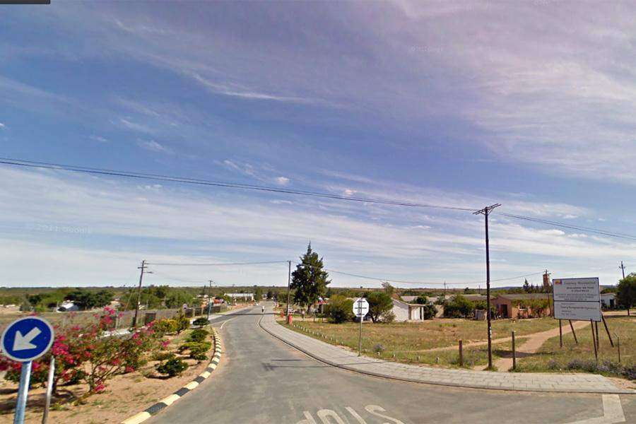
Graafwater is a small town in the Western Cape, situated on the R27 between Clanwilliam and Lamberts Bay;. It lies in the Olifants River Valley, surrounded by semi-arid hills and agricultural lands, with wheat and citrus farms dominating the landscape.
History of Graafwater
Graafwater means digging for water in Afrikaans. The town was established when the railway junction between Bitterfontein and Cape Town was built in 1910. The railway was used to transport seafood from Lamberts Bay and agricultural produce from Clanwilliam to Cape Town.
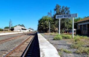
The station today
Graafwater lies between these two towns. There is a cave about 25 km away from the town. The Dutch called it Herenlogement ( gentlemen’s lodging). The initials of travellers who used the cave as shelter in the 1700s are carved on the cave walls.
The story of the shelter was documented by Cape Governor Hendrik Swellengrebel, who travelled here in 1737. He wrote about a wild fig tree that grew out of a cleft at the back of the cave, which can still be seen today. The Herenlogement has been declared a national monument.
The postal code in Graafwater is 8120
local WEATHER TODAY
Browse businesses and places to visit in Graafwater
Things to See and Do in Graafwater
- Herenlogement: overhanging rock used as an overnight place by early settlers.
- Zink blockhouse built during the Anglo-Boer war, 1902 – Tel 022 422 1108
- Rock Art and Rock Formations – Tel 027 482 2022
- Oloff Bergh Stone & Fountain – On the farm Klipfontein – Tel 022 422 1723
Resources
Practical information for the Western Cape: regulations, permits, and helpful tips. See the Colourdots coastal and nature use guide

Useful Numbers in Graafwater
Residents and visitors can find important local contact numbers below, including police, medical services, utilities, and community facilities
-
Emergency Services
- Police: 027 422 1122
- Fire: 027482 1775
- Ambulance:10177
-
Medical
- Closest hospital; clinic 027 422 1309
-
Municipal & Utilities
- Water: 082 883 6826
- Electricity:907 9494082
-
Transport & Roads
- Clanwilliam Traffic Department – Tel: 027 482 8000
-
Community & Safety
- NSRI 087 094 9774
- 24-hour Poisons Information Helpline of the Western Cape: 0861 555 777.
- Childline South Africa: 116
- SPCA: Cape of Good Hope SPCA-021 700 4140
-
Local Contacts and Community Resources
- Post office; post agency 027422 1222
- Library: 027422 1108
- Museum;022 422 1108
-
Schools in Graafwater:
- Graafwater high 027 422 1009
- Graafwater primary 027 422 1215
- Maasrust Sskv primary 027 422 1277
Towns in the Cederberg district include: Citrusdal; Clanwilliam; Elands Bay;; Lamberts Bay; Porterville; Redlinghuys; and Wupperthal
- Colourdots is an independent regional information resource for the Western Cape.
Learn more about the project HERE