- Province: Western Cape
- Coordinates; 33°54′25″S 18°30′58″E
- Area
- Municipality; City of Cape Town
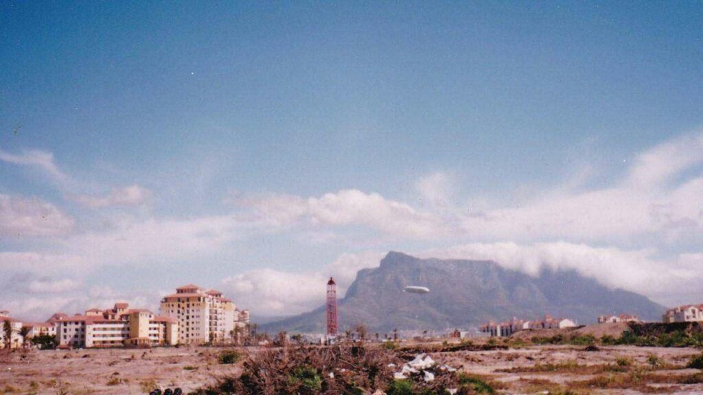
Windermere is located in the southern part of Cape Town, bordered by suburbs such as Lansdowne, Athlone, and Thornton. It is part of the Cape Flats region and is accessible via the M5 and other local roads, linking residents to central Cape Town and surrounding areas.
History of Windermere
This suburb, previously known as Kensington estate, is near the Ysterplaat airbase. It was named in 1928 after Lake Windermere in England. It is a settlement that was declared a “coloured area” by the “Group Areas Act of 1950. The area was established on subdivided farmlands, and residents were owners, tenants, and squatters. These squatters were mainly migrants from the Eastern Cape. In 1923, only about 2000 people were living there, but by the 1940s, the population had grown to about 35000. The area is one of the more diverse communities in Cape Town
Transport
Windermere is served by Golden Arrow Bus Services, and minibus taxis. See linked pages for details. Other options for getting around the Western Cape.
Resources
Practical information for the Western Cape: regulations, permits, and helpful tips. See the Colourdots coastal and nature use guide
local WEATHER TODAY
Browse businesses and places to visit in Windermere

Useful Numbers
Residents and visitors can find important local contact numbers below, including police, medical services, utilities, and community facilities in and around
-
Emergency Services
- Police: Brooklyn -012 366 1700
- Fire: Brooklyn Fire Station-021 510 5180
- Ambulance: 10177
-
Medical
- Closest hospital; S.A.M.S – Ysterplaat Military Clinic Sick Bay-021 508 6166
- Pharmacy; Ysterplaat Medical Supplies-021 551 0838
-
Municipal & Utilities
- Water: 0860 103 089
- Electricity:0860 103 089
-
Transport & Roads
- Traffic department: Milnerton Traffic Department-0860 103 089
-
Community & Safety
- NSRI 087 094 9774
- SPCA: Cape of Good Hope SPCA-021 700 4140
-
Local Contacts and Community Resources
- Post office; Maitland-021 511 3793
- Library; Brooklyn Public Library-021 444 5994
-
Schools in Windermere
- S Windermere Primary School – 021 593 8264
- Windermere Secondary School – 021 593 2550,
- Wingfield Primary School-021 593 8687
- Sunderland Primary School-021 593 2210
- W.D. Hendricks Primary-021 593 0480
- Find a comprehensive list of Cape Town Emergency numbers HERE
The City of Cape Town Public Emergency Communication Centre is available 24/7 for all life or property-threatening emergencies. Call 021 480 7700 from any phone or 107 from a landline or report online at https://bit.ly/3o4Ji3K
- Colourdots is an independent regional information resource for the Western Cape.
Learn more about the project HERE