
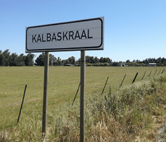
- Province: Western Cape
- District: West Coast
- Coordinates:33°34′S 18°39′E
- Area:1.38 km2
- Municipality: Swartland
Jump to: History of Kalbaskraal |Useful Numbers in Kalbaskraal
Kalbaskraal is located inland in the Western Cape, within easy reach of Paarl and Malmesbury. The area features flat to gently rolling farmland, supporting vineyards, wheat, and other crops, and is connected by regional roads and rail links. Kalbaskraal is situated near the village of Chatsworth. Today, Kalbaskraal is served by Metrorail Western Cape on the Worcester line
History of Kalbaskraal
. The village’s history is closely tied to the agricultural development of the Swartland region in the Western Cape, South Africa. The area where it is located was historically part of a larger farming community that developed during the 18th and 19th centuries. The Swartland region, known for its fertile soil and favourable climate, became a significant agricultural area, particularly for wheat and other grains. It began as a small settlement primarily serving the surrounding farms and their workers. It is between Malmesbury and Cape Town
In the late 19th and early 20th centuries, Kalbaskraal was an important railway junction and the official starting point of the Hopefield narrow-gauge railway line, built in 1902 to transport wheat and goods from the deep West Coast sandveld. While the narrow tracks were later ripped up and replaced, Kalbaskraal still features a massive, decaying web of old railway lines and abandoned station infrastructure.
. The name “Kalbaskraal” means”Calabash Kraal” in Afrikaans (a kraal is a livestock enclosure). The area was a key watering and resting station for early colonial ox-wagons and livestock herders travelling inland. The damp riverbeds along the nearby Diep River were densely overgrown with wild calabashes (gourds), which early travellers dried out and hollowed to use as lightweight water flasks for their long journeys.
The license plate prefix for Kalbaskraal is CK, and the postal code is 7302
- Kalbaskraal Nature Reserve.
- Old historical railway infrastructure
Resources
Practical information for the Western Cape, Regulations, permits and helpful tips. See the Colourdots coastal and nature use guide
local WEATHER TODAY
Browse businesses and places to visit in Kalbaskraal

Useful Numbers in Kalbaskraal
Residents and visitors can find important local contact numbers below, including police, medical services, utilities, and community facilities
-
Emergency Services
- Police: Philadelphia 021 972 1797
- Fire: Melkbos fire station 021 444 7308
- Ambulance:10177
-
Medical
- Closest hospital; Satellite clinic: open Mondays and Thursdays
022 487 9400 hoofweg Kalbaskraal - Pharmacy; Malmesbury 022 482 1685
-
Municipal & Utilities
- Water: 0860 103 089
- Electricity:0860 103 089
-
Transport & Roads
- Traffic department: Atlantis 021 444 1330
- Road Emergencies / SANRAL: 0800 204 204
- Childline-116
-
Community & Safety
- 24 hour Poisons Information Helpline of the Western Cape: 0861 555 777.
- SPCA: swaartland 022 492 2781
- NSRI 087 094 9774
-
Local Contacts and Community Resources
- Post office; Philadelphia 021 972 1303
- Library: Malmesbury 022 487 9439
-
Schools in Kalbaskraal
- OJ Erasmus Primary school 022 481 3730
Towns in the Swartland district include: Chatsworth; Darling; Grotto Bay; Jakkalsfontein; Koringberg; Malmesbury; Moorreesburg; Riebeek kasteel and Yzerfontein;
- Colourdots is an independent regional information resource for the Western Cape.
Learn more about the project HERE