- Province: Western Cape
- West coast
- Coordinates:33°00′S 18°59′E
- Area:7.98 km2
- Municipality: Bergrivier
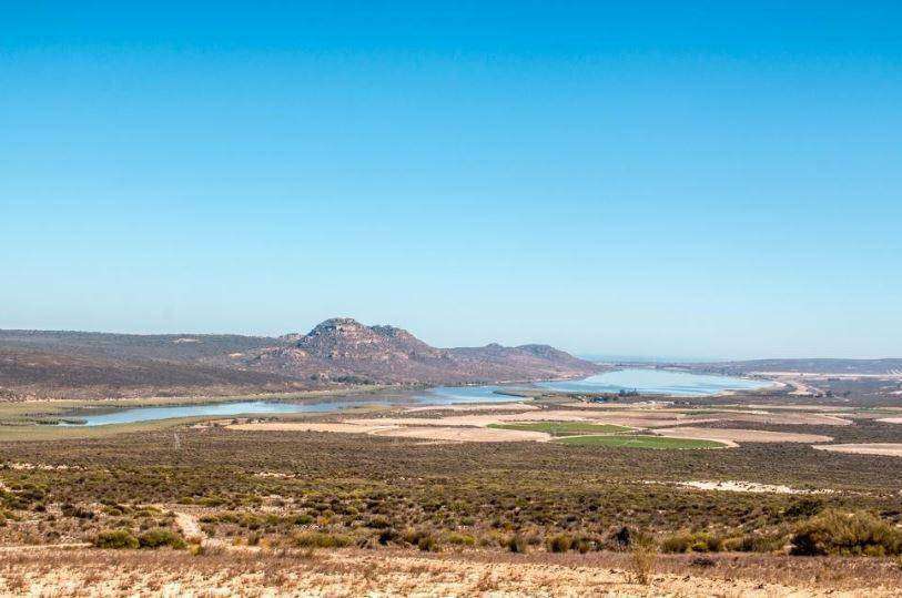
Redelinghuys is a village in the Western Cape, located near the Olifants River and surrounded by fertile farmland. It lies north of Piketberg and south of Veldrif, with Dwarskersbos to the west and Porterville to the east. The village is easily accessible via regional roads and serves as a hub for local agriculture, including wheat and fruit farming, while offering nearby nature spots along the Olifants River and the Atlantic coastline.
History of Redelinghuys
Potato capital of the Sandvlei
Redelinghuys was originally part of the farm Wittedrift. Sir George Napier handed it over in December 1841 to Hendrik Koetzee, and when he died in 1848. J.N.L. Redelinghuys bought the farm and gifted a piece of it to the church.
Redelinghuy,s the village at the head of the Verlorenvlei, was established around 1866, and the buildings are predominantly in the Victorian style. It is known as the potato capital of the Sandvlei, and Rooibos grows here naturally.
Birdwatching
Verlorenvlei (Lost Marsh) is an estuary with wonderful birdwatching opportunities that stretches between Elands Bay and Redelinghuys. Verlorenvlei is one of the most important estuarine systems in the Western Cape and one of the largest natural wetlands along the west coast of South Africa. Velorenvlei is a Ramsar site that is fed by a perennial river that starts in the Cederberg. A Ramsar site is a wetland site designated to be of international importance.
Boer War connection
Military history was made at Vegkop along the Vlei, where there was a skirmish between the British and the Boers at the end of the 19th century.
The postcode for Redlinghuys is 8105
WEATHER IN REDLINHUYS TODAY
Browse businesses and places to visit in Redlinghuys
Things to do and see in Redlinghuys
- The rare Sandveld lily grows in the district
- Many Bushman paintings were found on the farm Sandhoogte.
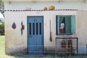
- Enchanting murals painted by Hannes Carstens are dotted around the village.
-
Resources
Practical information for the Western Cape, Regulations, permits and helpful tips. See the Colourdots coastal and nature use guide

Useful Numbers in Redlinghuys
Residents and visitors can find important local contact numbers below, including police, medical services, utilities, and community facilities
-
Emergency Services
- Police: 022 962 1620
- Ambulance: 10177
-
Medical
- Closest hospital; satellite clinic 0229621810
Open Mondays, alternate Wednesdays and Fridays - Pharmacy; Langebaan link pharmacy. 022 772 2470
-
Municipal & Utilities
- Municipality: Picketberg 022 913 6000
- Electricity:0836554846
-
Transport & Roads
- Road Emergencies / SANRAL: 0800 204 204
-
Community & Safety
- Childline-116
- SPCA: West coast 022 289 0998
- 24 hour Poisons Information Helpline of the Western Cape: 0861 555 777
- NSRI 087 094 9774
-
Local Contacts and Community Resources
- Post office; 022 962 1650
- Library: 0229621605
-
Schools in Redlinghuys
- : Redlinghuys Primary 076 415 3724
Towns in the Cederberg district include: Citrusdal; Clanwilliam; Elands Bay; Graafwater; Lamberts Bay; Porterville; and Wupperthal
- Colourdots is an independent regional information resource for the Western Cape.
Learn more about the project HERE