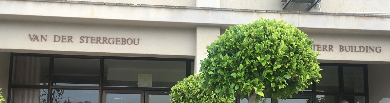
Mapping Museum
The Mapping Museum listing in Cape Town focuses on the history and development of cartography in South Africa, with strong links to National Geo-spatial Information (NGI) in Mowbray, where the country’s official topographic maps are produced.
It reflects the evolution of mapping techniques, historical survey work, and the people and institutions involved in documenting the Western Cape and broader South Africa. This includes early surveyors, mapping pioneers such as McClear and Le Callé, and the long development of government mapping systems that are still in use today.
This small museum offers a fascinating glimpse into the science, technology, and determination that shaped South Africa’s maps. Visitors can view instruments used by generations of surveyors and learn how pioneers helped create one of the world’s most advanced survey systems.
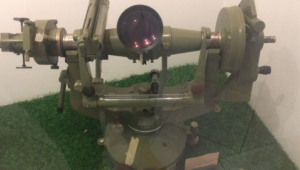
Astro theodolite
Mapping in South Africa is closely connected to the physical landscape. The geology of the Western Cape plays a major role in how terrain is surveyed, classified, and represented on official maps.
Admission is free from 8.30 to 15.30. It is possible to schedule an appointment with a guide to explain the instruments. Small groups are welcome, and maps can be purchased.
Mapping of the Western Cape (Story)
Van Der Sterr Building 19 Rhodes Drive Mowbray