- Province: Western Cape
- Coordinates 33.9368°S 18.4302°E
- Area 0.46 km2
- Municipality; City Of Cape Town
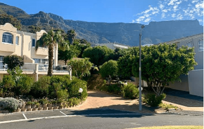
Devil’s Peak Estate is nestled on the lower slopes of Devil’s Peak, part of the iconic Table Mountain range. It is bordered by Woodstock to the north, Salt River to the west, and Zonnebloem to the south. The suburb features a mix of residential homes, open spaces, and easy access to central Cape Town via Main Road and nearby freeways, making it both scenic and convenient.
History of Devil’s Peak Estate
Devil’s Peak Estate is a suburb in Cape Town’s City Bowl. The name “Devil’s Peak” originates from a local legend about Jan Van Hunks, a Dutch pirate who retired to Table Mountain. According to the story, Van Hunks encountered a mysterious man dressed in black while enjoying his pipe. The stranger challenged Van Hunks to a smoking contest, which Van Hunks accepted. The two created huge clouds of smoke over Table Mountain until the stranger revealed himself as the Devil.
Locals say that when clouds cover the mountain, Van Hunks and the Devil are battling once again. Following the first British occupation of the Cape in 1795, defence blockhouses were built on Devil’s Peak. While three of these structures have fallen into disrepair, King’s Blockhouse, a large stone building measuring 7 meters square, remains. This blockhouse served as a signal station for communication between False Bay and Table Bay and was declared a National Monument in 1938. Today, Devil’s Peak Estate is a quiet neighbourhood but is known for its strong winds. It is also home to a sacred site named after the Egyptian queen Nefertiti, which records the longest and shortest days of the year.
Postcodes for Devil’s Peak Estate 8001
Transport
Devil’s Peak Estate is served by MyCiTi Bus, Services, and minibus taxis. See linked pages for details. Other options for getting around the Western Cape.
Things to see and do in Devil’s Peak Estate
- Pypies Square Park on Lower Pypies Square has fabulous views of Table Mountain and a great children’s play park
- The King’s Blockhouse
- Egyptian queen Nefertiti sacred site
Resources
Practical information for the Western Cape: regulations, permits, and helpful tips. See the Colourdots coastal and nature use guide
WEATHER IN DEVILS PEAK ESTATE
Browse businesses and places to visit in devils peak estate
 Useful Numbers
Residents and visitors can find important local contact numbers below, including police, medical services, utilities, and community facilities in and around
-
Emergency Services
- Police: 021 467 8000 Cape Town Central
- Fire: Cape Town central-021 444 8963
- Ambulance: Metro Emergency Medical Service – Western Division-021 508 4500
-
Medical
- Closest hospital/clinic: Booth Memorial Hospital- 021 465 2330
- Pharmacy; Vredehoek-021 465 6222
-
Municipal & Utilities
- Water:0860 103 089
- Electricity:0860 103 089
-
Transport & Roads
- Traffic department: Gallows Hill -0860 103 089
-
Community & Safety
- Cape Of Good Hope Grassy Park -021 700 4140
- NSRI 087 094 9774
-
Local Contacts and Community Resources
- Library; Vredehoek- 021 464 1200
- Post office;Mill street-021 465 1013
-
Schools in Devil’s Peak Estate
- Closest schools are in Vredehoek
- Find a comprehensive list of Cape Town Emergency Numbers HERE
- Colourdots is an independent regional information resource for the Western Cape.
Learn more about the project HERE