- Province: Western Cape
- Coordinates 33°52′00″S “18°41′00″E
- Area 25.27 km2
- Municipality. City of Cape Town
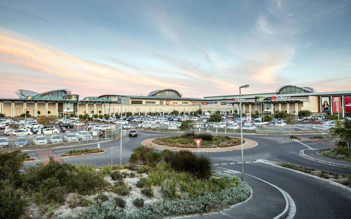
Brackenfell is located 35 km northeast of Cape Town on the slopes of Klapmutsberg. It is bordered by Kraaifontein, Kuils River, Durbanville, and Bellville, with easy access to the N1 and R300 highways. The suburb is divided into North, Central, and South, and includes over 30 residential neighbourhoods alongside commercial and industrial areas, making it a key hub in the northern Cape Town metropolitan region.
History of Brackenfell
The story of Brackenfell begins in the 1700s, when a refreshment post called De Klapmuts stood at a major crossroads in what is now the suburb. The farm there, owned by Andries Brink, was known as Kruispad, and in 1712, a portion of it was sold to Scottish immigrant George Henry Walton. Walton named his farm Brackenfell—“Bracken” for the ferns reminiscent of his homeland, and “Fell” meaning hill.
Brackenfell’s natural resources made it an attractive site. Rich granite deposits led to the establishment of a quarry and a brick-making company in 1903. By 1904, a railway line reached the area to transport the bricks and stone. The suburb itself was officially established in 1913, although the quarry and brickworks closed in 1948.
The township grew around the major road crossing, providing easy access to the N1, R300, Old Paarl, and Bottelary Roads. Today, Brackenfell is divided into three main areas—North, Central, and South—and includes over 30 residential neighbourhoods, alongside a thriving commercial and industrial sector. Suburbs such as Vredekloof, Vredekloof East, Vredekloof Heights, Morgenster, Protea Heights, Protea Village, and Sonkring all form part of Brackenfell’s diverse landscape.
Community initiatives have helped shape the area. The Vredekloof Safety Council (VSC) was established in 2006, and the Vredekloof Community Improvement District (VCID) followed in 2009 to enhance security and public spaces.
Brackenfell also has historical charm in its street names, which often honour figures from the Dutch East India Company, including Kompanjie Street, Boom Street (after the first company gardener, Hendrik Boom), Swellengrebel Street (Governor Hendrik Swellengrebel, 1739), and Adam Tas, a local community leader at the turn of the 17th century.
Brackenfell lost its municipal status in 1996 and was incorporated into the Oosterberg Municipality, which includes Kraaifontein, Kuils River, and Blue Downs/Eersterivier. Since 2000, it has been fully integrated into the City of Cape Town Metropolitan Municipality, making it an integral part of Greater Cape Town.
The postcode for Brackenfell is 7560
Transport
Brackenfell is served by Golden Arrow Bus Services, and minibus taxis. See linked pages for details. Other options for getting around the Western Cape.
Resources
Practical information for the Western Cape: regulations, permits, and helpful tips. See the Colourdots coastal and nature use guide
local WEATHER TODAY
Browse businesses and places to visit in brackenfell

Useful Numbers
Residents and visitors can find important local contact numbers below, including police, medical services, utilities, and community facilities
-
Emergency Services
- Police: 021 980 5700
- Fire: 021 417 0151
- Ambulance: 10177
-
Medical
- Closest hospital/clinic-021 980 1285
- Pharmacy; Essential Health -021 981 1824
-
Municipal & Utilities
- Water: 0860 103 089
- Electricity: 0860 103 089
-
Transport & Roads
- Traffic department: 0860 103 089 licensing 021 444 9956
- Road Emergencies / SANRAL: 0800 204 204
-
Community & Safety
- NSRI 087 094 9774
- 24 hour Poisons Information Helpline of the Western Cape: 0861 555 777.
- SPCA: Cape Of Good Hope-021 700 4140
-
Local Contacts and Community Resources
- Post office; 021 981 1205
- Civic Centre: 021 400 3966
- North Pine Community Hall: 021 400 3966
- Ratepayers ratepayers@brackenfell.org.za
-
Schools in Brackenfell
- ; Brackenfell Primary-021 981 2147
- Laerskool Brackenfell-021 981 2147
- Laerskool Bastion Primary School-021 981 1882
- Hoërskool /High School-021 981 5522
- Paarl School-021 981 5555
- Protea Heights Academy-021 981 0021
- Laerskool Vredekloof Primary School021 036 1444
- Curro Independent School-087 285 4710
- Destinatus Private School-021 906 1969
- Destinatus Private School Campus 1-021 982 8507
- Brooklands Primary School-021 982 1470
- Westcliff Special Secondary School-021 948 4877
- Colourdots is an independent regional information resource for the Western Cape.
Learn more about the project HERE