- Province; Western Cape
- Coordinates; 33°56′55″S “18°34′33″E
- Area 2.58 km2
- Municipality; City of Cape Town
Bishop Lavis is located east of Cape Town, near the Cape Town International Airport, bordered by Goodwood, Elsies River, and Monte Vista. The suburb is part of the Cape Flats and is easily accessed via the N2 highway and local arterial roads. Predominantly residential, the area includes schools, local shops, and community centres, and forms part of a densely populated section of the metropolitan area.
History of Bishop Lavis
This suburb is east of the City of Cape Town near the Cape Town International Airport. It is a predominantly “coloured” area.
It was established in the late 1950s and early 1960s as part of the apartheid-era Group Areas Act, which enforced racial segregation and displaced many communities of colour. Bishop Lavis was designated for people classified as “Coloured” under apartheid.
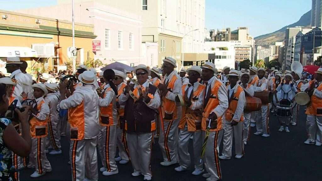
Named after Bishop Ernest Lavis, a prominent figure in the Anglican Church, the area grew rapidly and developed into a densely populated area. The community faced numerous challenges over the years, including limited infrastructure, social and economic hardships, and high crime rates. Despite these difficulties, the suburb is known for its strong sense of community, resilience, and local culture.
The postcode for Bishop Lavis is 7490
Transport
Bishop Lavis is served by Golden Arrow Bus Services and minibus taxis. See linked pages for details. Other options for getting around the Western Cape.
Things to see and do in Bishop Lavis
- Roome Park in the centre of the town has open lawns, swings for children, a peaceful garden, and a shady corner to sit and relax.
Resources
Practical information for the Western Cape: regulations, permits, and helpful tips. See the Colourdots coastal and nature use guide
WEATHER IN BISHOP LAVIS TODAY
Browse businesses and places to visit in BISHOP LAVIS

Useful Numbers
Residents and visitors can find important local contact numbers below, including police, medical services, utilities, and community facilities in and around
-
Emergency Services
- Police: 021 935 9802
- Fire: Belhar 021 480 7700
- Ambulance: 10177
-
Medical
- Community Health Centre 021 934 6050
- Pharmacy; MediRite – 021 934 2363
-
Municipal & Utilities
- Water: 0860 103 089
- Electricity: 0860 103 089
-
Transport & Roads
- Community & Safety
- NSRI 087 094 9774
- SPCA: Cape of Good Hope SPCA-021 700 4140
-
Local Contacts and Community Resources
- Civic centre: 021 444 0517
- Matroosfontein Civic : 021 444 0916
- Nooitgedacht Hall:021 444 0516
- Valhalla Park Community Centre: 021 444 0516
- Civic Centre: 021 444 0517
- Netreg Community Centre;021 400 285
- Nooitgedacht Community Hall:021 444 0516
- FSD Hall community hall:021 444 0916
- Library: 021 400 5427
- Post office; 021 934 6551
-
Schools in Bishop Lavis
- B. L, Primary:021 934 1030
- B. L. High 021 934 1005
- Helderberg; 021 934 1050
- Hillside Primary School-021 392 5230
- Bergville Primary School-021 934 6453
- Riverton Primary School-021 934 1015
- Greenlands Primary School-021 934 6029
- Nooitgedacht Primary School-021 934 6019
- John Ramsay High School-021 934 6427
- Lavisrylaan Primary School-021 931 3562
- Find a comprehensive list of Cape Town Emergency Numbers HERE
- Colourdots is an independent regional information resource for the Western Cape.
Learn more about the project HERE