History
Province: Western Cape
West Coast
Coordinates:31°33′S 18°21′E
Area:2.33 km2
Municipality: Matzikama
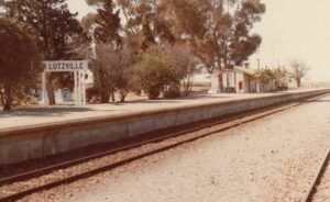
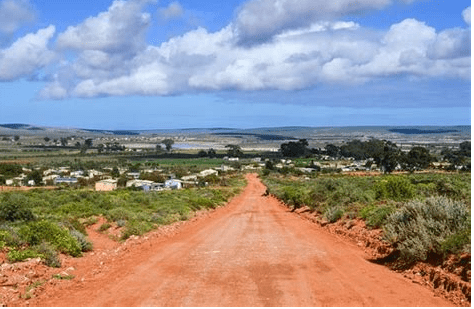
. The town of Lutzville was originally named Vlermuisklip (Bat Rock) after a famous landmark rock situated there. Koekenaap is a short drive away. Lutzville later took its name in honour of John Lutz who was the chief irrigation engineer who pioneered the Clanwilliam Dam. Lutzville is near the Olifants River and at high tide, one can take a flat-bottomed boat all the way to Papendorp 30 km downstream. Before Europeans colonized the Cape, the area around the Olifants River was populated with herds of elephants. The area is famous for quality wine. Colourful spring flowers, vegetables, and fruit grown on local farms.

The postcode for Lutzville is 8165 Streets and boxes and for Koekenaap it is8146
WEATHER IN LUTZVILLE AND KOEKENAAP TODAY
see all listings in lutzville and koekenaap
Useful Numbers
- Police: 027 217 4000
- Traffic department: /
- Municipality 027 201 3442
- Fire:
- Electricity:082 323 7462
- Ambulance: 10177
- Post office;027 217 1022
- Library: 027 201 3339
- KOEKENAAP Cultural Centre: (027) 217 1349
- Closest hospital; Vredendal hospital 027 213 2036Pharmacy; 027 217 2100
- SPCA:swaartland spca 022 492 2781
- Schools:
- Lutzville high 027 217 1006
- Uitkyk primary school 027 1080


