History of Wolesley
- Province: Western Cape
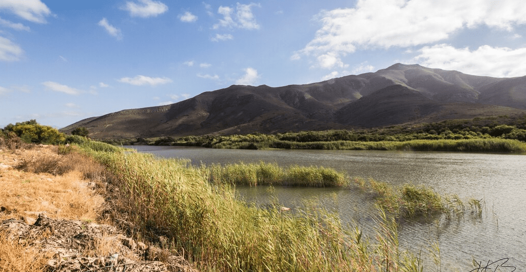
- Winelands
- Coordinates: 33°24′47″S 19°12′06″E
- Area: 5.0 km2
- Municipality: Witzenberg
The town was founded in 1875 on the farm Goedgevonden (Well found) and named after Sir Garnet Wolseley who was governor of Natal and supreme commander of the British forces at the time.
The first wool washery in the country was built here, and the first fruit cannery opened in 1936
Fruit industry in Wolesley
The Cape Orchard Company was begun here by Leicester Dicey in the 1890s. He and his cousin built up a large fruit-growing industry along with supporting industries such as wooden crate building in the area. Tree nurseries were also established to grow strong trees. Railway lines were extended to Wolesley to transport the fruit to Cape Town.
Anglo-Boer war blockhouses
Stone blockhouses in the area were built by the British during the Anglo-Boer War in 1901 to protect the Railway bridges. Many of these require repair, but the local blockhouses are remarkably intact
The postcode for Wolesley is 6830.
local WEATHER TODAY
all listings in wolesley

Useful Numbers
- Police: 023 231 8000
- Traffic department: Ceres 023 316 1997
- Fire: 023 316 1997/8
- Water: 023 3168547
- Electricity; 023 3168540:
- Ambulance: 10177 or Tulbagh-023 230 1326:
- Post office; 023 231 0310
- Library; 023 316 1854
- Clinic; 023 231 1320
- Pharmacy; Ceres-023 316 1233
- S.P.C.A ; Wellington-021 864 3726
- Schools: Wolseley Secondary School-023 231 1120
Witzenberg Primary School-023 231 0138
Wolseley Primary School-023 231 0122
W.F. Loots Primary School-023 231 0155
Errie Moller Primary School-023 231 0382 - Tourism; 082 835 7625