- Province: Western Cape
- District: Overberg
- Coordinates: 33°59′S 19°17′E
- Area: 2.89 km2
- Municipality: Theewaterskloof
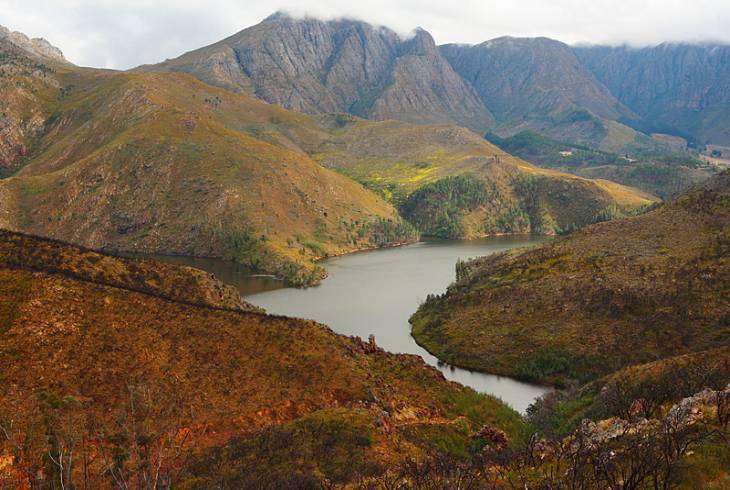
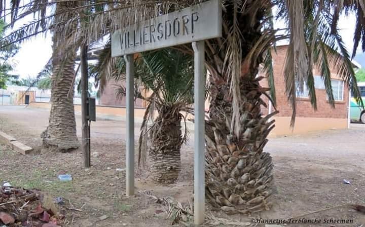
Villiersdorp is located in the Overberg region of the Western Cape, approximately 110 km east of Cape Town. The town lies at the northern base of the Kleinrivier Mountains and on the southern shore of the Theewaterskloof Dam. It is accessed via the R317 and R321 roads, connecting it to nearby towns including Grabouw and Bot River. The surrounding area is largely agricultural, with fruit orchards and vineyards dominating the landscape.
History of Villiersdorp
Huguenot settlement
Before the European settlers arrived, the San and the Hottentots lived in the pristine and abundant land at the Cape. When the Huguenots arrived in 1688, they moved into the valley where Villiersdorp is today. They farmed livestock and had little need for roads, so the area remained undeveloped until the mid 19th century.
Nuptial scandal
The town of Villiersdorp is named after Field Cornet Pieter de Villiers, who founded the village on the farm Radyn in 1843 after appealing to the governor of the Cape to lay out a settlement on his farm.
The daughter of Pieter de Villiers married a farm labourer, Petrus Graaf, amid much scandal. The nuptials were allowed on condition that the name De Villiers would be dropped. However, the couple had three sons, including David De Villiers Graaf, who was a minister in parliament in Cape Town.
With the great depression in the 1920s, residents had to find a new market for their crops, so they turned grapes into a preserved syrup known as moskonfyt. CC Jooste built a moskonfyt factory in 1922 which is the only one in the world. Villiersdorp developed slowly, with the main road being tarred only in 1936.
Theewaterskloof dam
Since the building of the Theewaterskloof Dam in the 1970s, the town has developed a microclimate very suitable for viticulture and deciduous fruit farming. The main crops include onions, grapes and deciduous fruits.
The postcode for is 6848 (Streets and Boxes), and the licence plate prefix is CAM
local WEATHER TODAY
Browse businesses and places to see in Villiersdorp
Things to see and do in Villiersdorp
- Agri and Arts Festival in October 083 312 1476
- The Tractor Trekker Museum behind the Kelkiewyn cafe 028 840 0900
- One of 5 water mills built by the Dutch East India Company can be seen on the farm Radyn.
- Elandskloof pass
- Floorshoogte pass
- The annual Stookfees in April. Locals stook mampoer, make moskonfyt and celebrate the town’s history. More info@villiersdorptourism.co.za,

Useful Numbers
Residents and visitors can find important local contact numbers below, including police, medical services, utilities, and community facilities
-
Emergency Services
- Police: 028 840 8014
- Fire: Worcester- 023 348 9060
- :Ambulance:Worcester: 028 342 2656 / 10177
-
Medical
- Closest hospital; Medical Centre-028 840 1145
- Provincial Hospital; (Worcester): (023) 348 1100
- Clinic; Mobile Clinic-028 840 1233
- Pharmacy; Kruger Pharmacy-028 840 1112
-
Municipal & Utilities
- Municipality; 028 840 1130
- Transport & Roads
- Traffic department: Caledon-028 212 2878
-
Community & Safety
- NSRI 087 094 9774
- 24 hour Poisons Information Helpline of the Western Cape: 0861 555 777.
- SPCA: Overberg Pet Care Society: 073 354 4915
- Villiersdorp Dierekliniek: 028 840 1132
-
Local Contacts and Community Resources
- Post office; 021 854 3102
- Library: 028 840 1130
- Tourism: info@villiersdorptourism.co.za
- Tourism Bureau-028 840 0082
-
Schools in Villiersdorp
- De Villiers Graaff High School-028 840 1640
- Villiersdorp Secondary School-028 840 1079
- De Villiers Graaff Primary School 840 1328
- Kosie De Wet Primary School-028 840 1475
- Elandsrivier Primary School-028 050 2042
- Colourdots is an independent regional information resource for the Western Cape.
Learn more about the project HERE