- Province Western Cape
- District Cape Winelands
- Coordinates:33°18′S 19°02′E
- Area:7.65 km2
- Municipality: Drakenstein
Jump to: History of Gouda |Things to See and Do in Gouda |Useful Numbers in Gouda
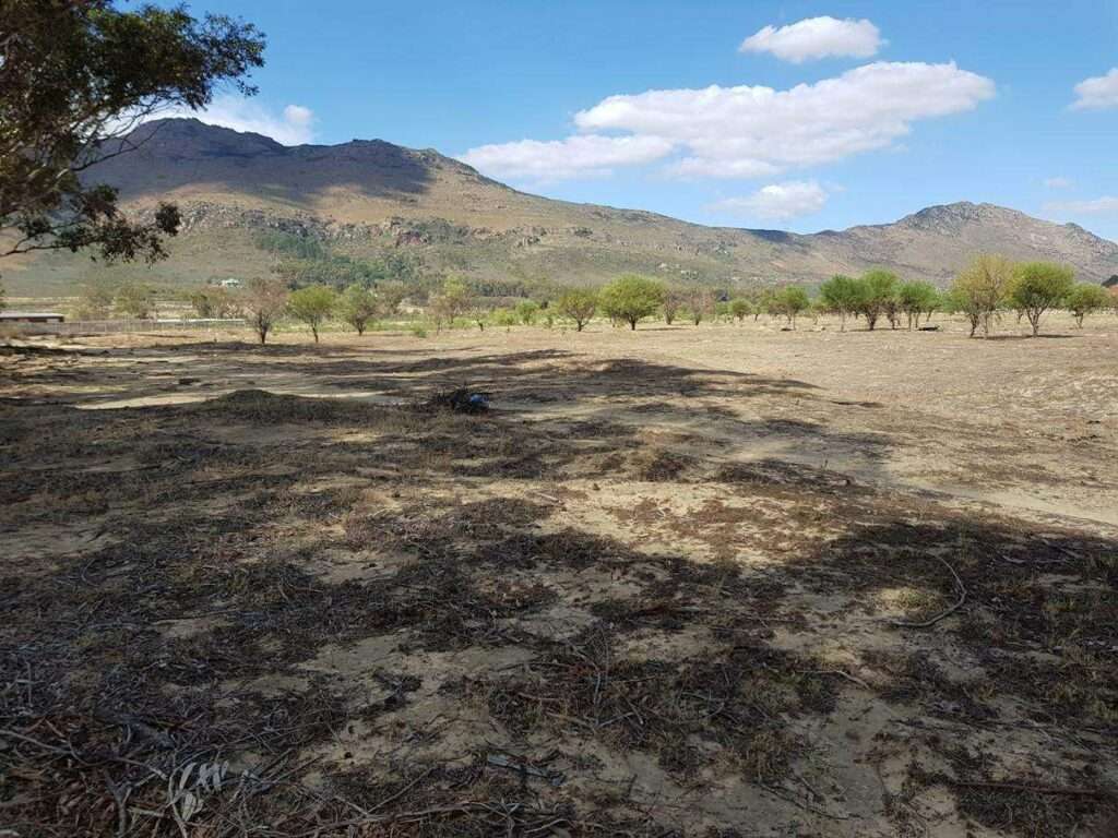
Gouda is a small town in the Berg River Valley of the Western Cape, about 38 km north of Wellington and 25 km south of Porterville. It lies along the R44 near the Berg River Dam, with nearby towns including Tulbagh and Hermon. The town forms part of the Drakenstein municipal area and is connected to surrounding farming regions and regional routes linking to Paarl and the Swartland.
History of Gouda
This little village is just South of Porterville near the Western entrance of the Nuwekloof pass, which crosses several streams known as “Twenty-four Rivers”
The village was originally a farm called “La Bonne Esperance” that was owned by three sisters who were originally from Holland. They donated farmland to establish a small town, as long as the town was called Gouda.
There is another story that says the name is from a Khoi word for either “antelope” or “Honey kloof”
However, this was the railway terminus for the Porterville area. It is predominantly a fruit farming area.
The Voëlvlei Dam, completed in 1952, is fed in winter by streams in the area, including the “Little Berg River”, is important for irrigation on the local farms. It is 8 kilometres long by 1.5 kilometres wide. During the dry months, the dam feeds the Berg River, which supplies Cape Town with some of its water.
The postcode for Gouda is 6821
local weather today
Browse businesses and places to visit in Gouda
Things to See and Do in Gouda
- Voëlvlei Dam is popular among water sports enthusiasts and is home to the Voëlvlei Yacht Club.
The dam also contains a healthy Bass population.
Resources
Practical information for the Western Cape: regulations, permits, and helpful tips. See the Colourdots coastal and nature use guide

Useful Numbers in Gouda
Residents and visitors can find important local contact numbers below, including police, medical services, utilities, and community facilities in and around
-
Emergency Services
- Police: Riebeek West 022 461 8100
- Fire: 021 887 4446
- Ambulance:10177
-
Medical
- Closest hospital: 023 232 0510
- Clinic: 073 699 3669
-
Municipal & Utilities
- Municipality:021 873 1121 -Toll-free Number: 080 131 3553
- Water:080 131 3553
- Electricity:080 131 3553
-
Transport & Roads
-
Community & Safety
- NSRI 087 094 9774
-
Local Contacts and Community Resources
- Post office;Agency ; 023 632 0417
- Library: 023 2320841
- Gouda community hall, Malva Street 064 7770 047/023 2320 405
-
Schools in Gouda
- Bakerville Primary School-023 232 0019
- Colourdots is an independent regional information resource for the Western Cape.
Learn more about the project HERE