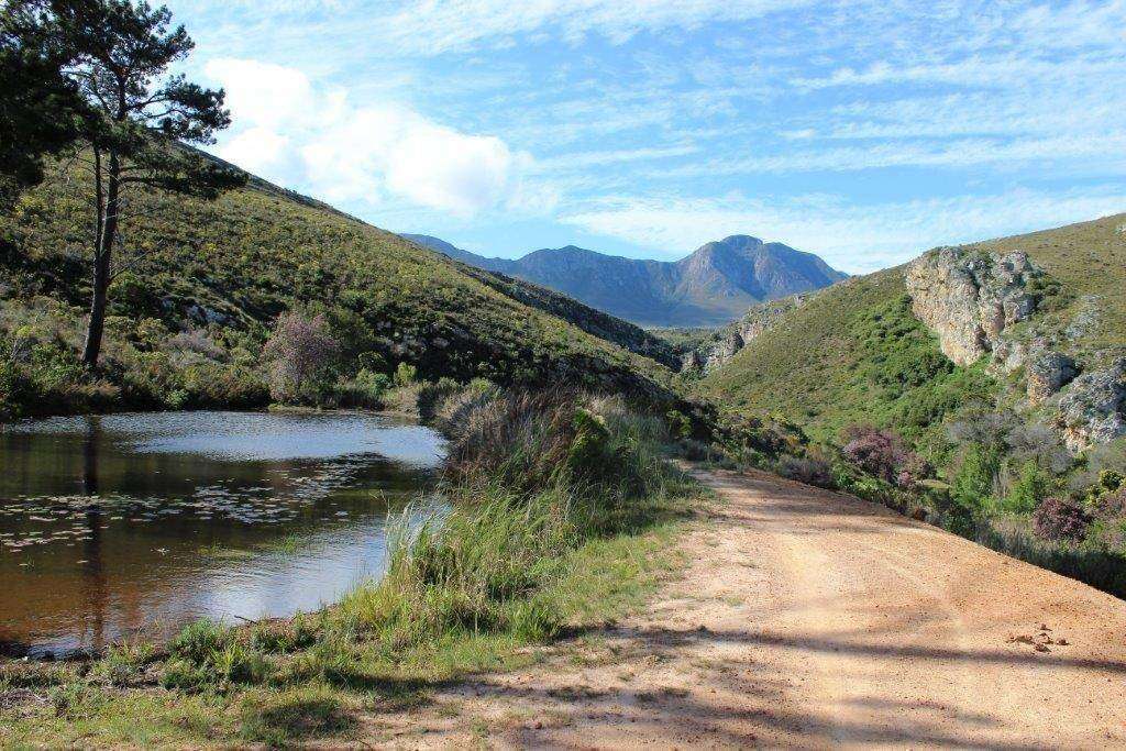
History of Volmoed
- Province: Western Cape
- Garden route
- Coordinates: 33°39′S 22°05′E
- Area: 2.29 km2
- Municipality ; Oudtshoorn
Volmoed is a small, secluded settlement located in the heart of the Karoo. The name “Volmoed,” which means “full of courage” or “confidence” in Afrikaans, reflects the spirit of the people who have lived and worked in this remote and rugged landscape.
Historical Roots
The history of Volmoed is deeply intertwined with the broader history of the Karoo, a region that has long been known for its harsh conditions and isolated farms. The area was originally inhabited by the Khoi and San people, who lived as herders and hunter-gatherers, adapting to the arid environment. The arrival of European settlers in the 18th and 19th centuries brought significant changes to the region, as farms were established and the land was gradually cultivated.
Volmoed itself was founded as a farm, originally called Armoed, one of many that dotted the vast plains of the Karoo. The farm became a focal point for the local community, providing a place for people to gather, share stories, and support one another in the face of environmental challenges.
Large church
In 1908, the owner of the farm, W.G. Olivier offered five morgen of land for the construction of a 700-seat church that he would finance. He hoped to establish a town. His offer was initially declined but was accepted in 1910. On May 16, 1910, the cornerstone was laid by Revs. George Murray and Andrew Murray McGregor. The church was completed in 1912. Efforts to establish an independent parish gained momentum and in 1921 Volmoed became a separate parish.
The postcode for Volmoed is 6624
local WEATHER TODAY
See all listings in volmoed
Useful Numbers
- Oudtshoorn is the closest main town
- Municipality – 044 203 3000
- Police: Oudtshoorn-044 203 9000 / 044 203 9022
- Traffic department: 044 203 3910
- Fire: 044 2033000
- Water:
- Electricity:Ambulance: 10177
- Post office; 044 279 1777 (Oudtshoorn)
- Library: 044 272 7642
- Closest hospital; 044 2037200
- SPCA: 044 2791850
- Schools; Primary school – 442727642
- Tourism; 082 9722507


