
History of Keurbooms River
Province: Western Cape
Garden route
Coordinates:34°00′S 23°27′E
Area:9.75 km2
Municipality – Bitou
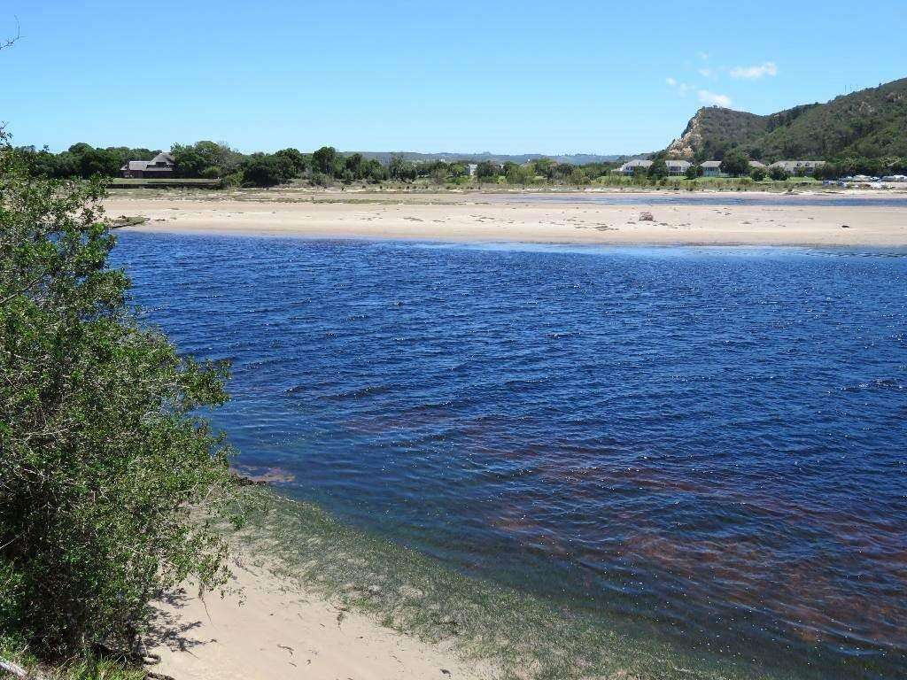
.There is evidence in the nearby Matjes River Rock Shelter where artefacts have been found dating back to the African Neolithic period 11 000 years ago. There is a 10 metres high by 15 metres wide by 30 metres long shell midden which is somewhat degraded but is the largest in the world.
In 1630 Portuguese explorers from the Silo Goncalo were ship-wrecked here for eight months. They were the first Europeans to have a settlement in South Africa.
The postcode for Keurbooms River is 6600
WEATHER IN KEURBOOMS RIVER
all listings in keurbooms river

Useful Numbers
- Police:044 501 1900
- Municipality;044 501 3000
- Traffic department:044 501 3240 / 3251
- Fire: Bitou Municipality Fire Services-044 533 5000
- Water: 044 501 3000
- Electricity:044 501 3000
- Ambulance: 10177
- Post office;044 533 1260
- Library: New Horizons Public Library-044 501 3128
- Closest hospital;Mediclinic Plettenberg Bay-044 501 5100
- Pharmacy; Main St -044 533 1370
- SPCA: Garden Route SPCA-044 693 0824
- Schools;
Plettenberg Bay Primary School-044 533 2126
Plett Pre Primary School-044 533 2542 [/vc_column_text]