- Province: Western Cape
- District: Garden Route
- Coordinates:34°01′S 21°46′E
- Area:2.87 km2
- Municipality – Mossel Bay
Jump to: History of Herbertsdale |Things to See and Do in Herbertsdale |Useful Numbers in Herbertsdale
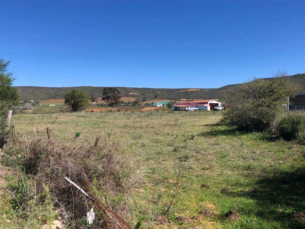
Herbertsdale is a small inland village in the Western Cape, situated about 25 km north of Mossel Bay and 50 km south of Oudtshoorn. The village lies along the N2 and near the Gourits River, with surrounding farms and rural landscapes. It forms part of the Mossel Bay municipal area and provides access to nearby towns, schools, and regional transport routes in the Garden Route region
History of Herbertsdale
This is a village in the Lantou Valley east of the Gourits River. It lies at the foot of the Outeniqua Mountains at the southern end of the Cloetes Pass, constructed in the 1850s. The village was established in 1865 on the farm Hemelrood and named after James Benton Herbert, a part-owner of the farm.
Older history tells of Claus Claußen, born in 1695 in Delve in the Dithmarschen region of Germany, who joined the Dutch East India Company in 1720. He sailed to Batavia aboard the Bleijenburg, but the ship stopped at the Cape after an outbreak of scurvy. Claußen went ashore to recover and ultimately remained at the Cape, working for the VOC until 1734, when he was granted the status of free burgher.
As a free burgher, Claußen received several farms along the Gourits River, including Hemelrood, Elandsrugge, and Langetouw. These farms laid the foundations for agriculture in the region. Hemelrood was later renamed Jakkalsvlei, which today is known for its winery.
Herbertsdale is still a small farming community, producing witblits and other agricultural products. The surrounding Langtou Valley remains largely agricultural, with farmland that has been cultivated for generations.
The first plots were sold in 1865, and the Dutch Reformed Church and School were built on another plot. Mission work began in Herbertsdale in 1863, and the Berlin Missionary Society took it over in 1872. The village also contains forts from the Boer War (1899-1903). The Langfontein Valley, located on the road leading out of town, is infamous for Witblits, the South African version of moonshine or poteen
The local climate in is “Mediterranean”, with mild, wet winters and warm, dry summers. This is an ideal year-round destination for outdoor activities such as hiking and birdwatching.
The postcode for Herbertsdale is 6505
Things to See and Do in Herbertsdale
- Du Plessis pass
- Hagelkraal pass
- Muiskraal pass
- Cloetes pass
- Jan Muller passes
- Old Boer War forts
Resources
Practical information for the Western Cape, Regulations, permits and helpful tips. See the Colourdots coastal and nature use guide
local WEATHER TODAY
Browse businesses and places to visit in Herbertsdale

Useful Numbers in Herbertsdale
Residents and visitors can find important local contact numbers below, including police, medical services, utilities, and community facilities in and around
-
Emergency Services
- Police: 044 651 1603
- Fire: 044 606 5031
- Ambulance: 10177
-
Medical
- Closest hospital; Mossel bay hospital-044 691 2011
- Pharmacy;044 698 1093(Dana Bay)
-
Municipal & Utilities
- Municipality -044 606 5000
- Water: 044 606 5262
- Electricity:044 606 5082
-
Transport & Roads
- Traffic department:044 606 5000 / 5201
-
Community & Safety
- NSRI 087 094 9774
- SPCA:044 693 0824
-
Local Contacts and Community Resources
- Post office;044 651 1619
- Library:044 651 1772
-
Schools in Herbertsdale
- Herbertsdale Primary School – 044 465 1168
- Colourdots is an independent regional information resource for the Western Cape.
Learn more about the project HERE