- Province : Western Cape
- Coordinates; 34°2′3″S 18°27′52″E
- Area ; 0.75 km2
- Southern suburbs
- Municipality City of Cape Town
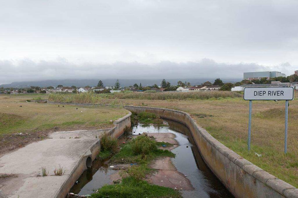
Diep River is located in the Southern Suburbs of Cape Town, Western Cape, along the banks of the Diep River. It is bordered by the suburbs of Heathfield, Plumstead, and Retreat, and is easily accessible via the M3 and Main Road. The area is primarily residential, with surrounding green spaces and small commercial areas, making it a well-connected part of the Cape Town metro region.
History of Diep River
Johann Georg Rathfelder arrived in the Cape in 1835. After marrying, he inherited a “halfway house” on the Cape Town to Simon’s Town route. It was known as Rathfelder’s Inn and was also a mail-coach halt. It thus became the obvious location for a post office. When it opened in September 1854, Rathfelder was appointed its first postmaster. In the 1840s, Rathfelder’s Inn became the headquarters for The Cape Hunt.
Today, Eaton Convalescent Home occupies the original buildings. In 1858, the village’s name changed to Diep River, after the nearby river. The railway line was extended to the area in 1882.
The postcode for Diep River is 7800
Transport
Diep River is served by Metrorail Golden Arrow Bus Services, and minibus taxis. See linked pages for details. Other options for getting around the Western Cape.
weather in Diep River today
Browse businesses and places to visit in Diep River
Things to see and do in Diep River:
- Rietvlei Reserve has a sanctuary on one side and a recreational area on the other
- Maybank Road Park Outdoor Gym Elfindale
- Roscommon Park Outdoor Gym Roscommon Road, Elfindale
Resources
Practical information for the Western Cape: regulations, permits, and helpful tips. See the Colourdots coastal and nature use guide

Useful Numbers
Residents and visitors can find important local contact numbers below, including police, medical services, utilities, and community facilities in and around Diep River
-
Emergency Services
- Police: Kirstenhof 021 701 2426
- Fire: Wynberg fire station: 021 444 9623
- Ambulance: 10177
- Medical
- Closest hospital/clinic: Clinic 021 712 9850
- Municipal & Utilities
- Water: 0860 103 089
- Electricity: 0860 103 089
- Transport & Roads
- Traffic department: Hillstar traffic department; 021 799 5100
- Community & Safety
- NSRI 087 094 9774
- SPCA: Grassy Park 021 700 4140
- Local Contacts and Community Resources
- Library Plumstead; 021 797 7240
- Post office; Retreat: 021 712 0242
- Schools in Diep River
- Westcott Primary School 021 712 6600
- Oakley House High School (remedial) 021 7133885
- Find a comprehensive list of Cape Town Emergency Numbers HERE
- Colourdots is an independent regional information resource for the Western Cape.
Learn more about the project HERE