Du Toits Kloof Mountains
The Du Toits Kloof Mountains are located between Paarl and Worcester. The highest point is Du Toits Peak at 1,995 m, which is the highest seaward-facing peak in the Cape Fold Belt range.
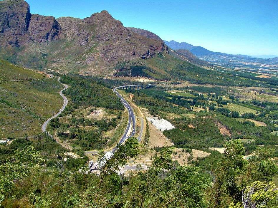
These mountains form a formidable barrier between Cape Town and the interior. The new Huguenot Tunnel, of 3.7 kilometres, cuts out a long stretch of the old mountain pass. Sometimes the Du Toits Kloof Mountain, together with the Wemmershoek Mountains and other ranges, are called the Klein Drakenstein but is more usually considered part of the greater Boland mountain range.
The Du Toits Kloof Mountains mostly consist of Table Mountain sandstone. Vegetation is almost exclusively montane fynbos of the Cape floral kingdom. The mountains consist largely of barren rocks and cliffs. Rain occurs predominantly in the winter months. Snow is common on the higher peaks (above 1000m) at this time. The climate is varied, with the surrounding valleys being up to 10°C (18°F) warmer than temperatures up in the mountains.
Is this your business?Claim it now.
Make sure your information is up to date.Colourdots is an independent Western Cape regional information resource. Learn more about the site here.