Clarence Drive
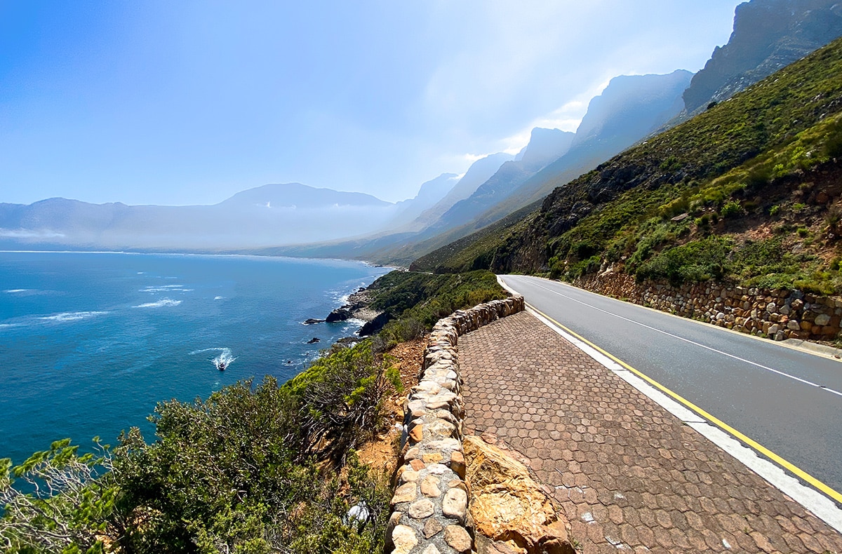
Clarence Drive is a scenic coastal road stretching about 22 km between Gordon’s Bay and Rooi-Els. It forms part of the R44 and is well known for its sharp bends and dramatic panoramic cliffside views of False Bay, the coastline, Table Mountain, and parts of the Cape Peninsula. The coast is popular with anglers and whale watchers. Kogel Bay Resort provides great surfing opportunities
Before its construction, access to the Hangklip and Betty’s Bay. area was minimal. Supplies had to be transported over Sir Lowry’s Pass and across the Palmiet River. Two routes existed: the established Gantouw Pass over the mountains, used for centuries by migrating eland and by Khoi communities, and a rough track skirting the mountains near Cape Hangklip. The latter became known as a route favoured by escaped slaves, deserters, and others avoiding colonial authority.
Access was still difficult in 1912, even after the Stony Point Whaling Station opened. Supplies from Cape Town had to cross Sir Lowry’s Pass, travel by ox-wagon to the Palmiet River, be ferried across by pontoon, and then continue to Betty’s Bay.
The idea for the road was first proposed in 1940 by businessman Jack Clarence, who owned property in the area and played a key role in the development of Betty’s Bay.
World War II accelerated the need for roads. The South African military had installed radar stations along the coast to monitor shipping and detect potential enemy movement. A road was needed to provide access to these installations. Much of the construction was carried out by Italian prisoners of war; South Africa held more than 60,000 at that time, and several hundred were sent to the Hangklip area. Because the road now served a military purpose, construction moved quickly.
Clarence Drive was completed during the war years, greatly improving coastal access. In the 1990s, the road was upgraded, and a new section was opened in 1998. Remnants of the original metal bridges and stone retaining walls are still visible in places. Despite these modern upgrades, Clarence Drive largely follows its original alignment with 77 bends and curves and hugging the coastline.
Is this your business?Claim it now.
Make sure your information is up to date.Colourdots is an independent Western Cape regional information resource. Learn more about the site here.