- Province: Western Cape
- District: Garden Route /Klein Karoo
- Coordinates:33°34′S 22°26′E
- Area:12.45 km2
- Municipality –Oudtshoorn
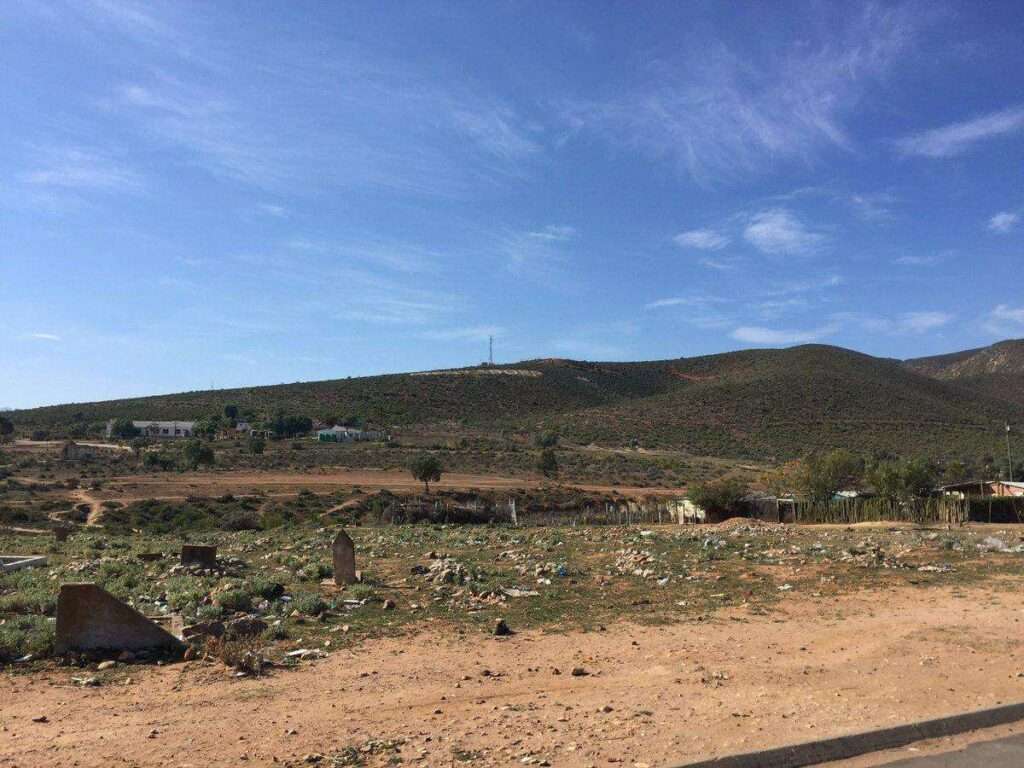
Dysseldorp is a small town in the Klein Karoo region of the Western Cape, situated along the R324 between Oudtshoorn and Van Wyksdorp. It lies on the banks of the Groot River and is surrounded by semi-arid farmland and Karoo landscapes. The town is easily accessible via the regional road network and serves as a quiet stopover for travellers exploring the Klein Karoo.
History of Dysseldorp
This is a small town that lies between Oudtshoorn and De Rust in the Little Karoo. It was established in 1838 by a London missionary group. It is divided into villages, namely Bokkraal, Bloupunt, Waaikraal, and Varenskllof. Ou Dysseldorp. Farm no 234 was divided into agricultural and residential allotments. 148 “coloured” families were granted freehold rights and were allocated plots of land. The plots were surveyed in terms of a law passed in 1873. These grants were known as spykergrond (nail ground) because long nails were driven into the ground to mark the boundaries of the plots.
The postcode for Dysseldorp is 6628
local WEATHER TODAY
Browse businesses and places to visit in dysseldorp
Things to see and do in Dysseldorp
- Against the hillside of the Kamanassie Mountains is a zig-zag road leading up to a small Roman Catholic chapel. Visits by appointment only.
Resources
Practical information for the Western Cape: regulations, permits, and helpful tips. See the Colourdots coastal and nature use guide
 Useful Numbers
Residents and visitors can find important local contact numbers below, including police, medical services, utilities, and community facilities in and around
-
Emergency Services
- Police: 044 251 5413
- Fire: Oudtshoorn – 044 203 3110
- Ambulance: 10177
-
Medical
- Closest hospital;Dysselsdorp Hospital-ER-044 251 601
- Clinic- 044 251 6013
-
Municipal & Utilities
- Municipality – 044 251 6013/ 044 203 3000
- Water / Sewerage after hours: 044 272 2225
- Electricity:044 203 3159
-
Transport & Roads
- Traffic department: Oudtshoorn 044 203 3910
-
Community & Safety
- NSRI 087 094 9774
- SPCA:044 878 1990
-
Local Contacts and Community Resources
- Post office;044 251 6310
- Library;044 203 3000
-
Schools in Dysseldorp
- Dysselsdorp Secondary School – 0442516323
- P.J. Badenhorst Primary School – 0442516684
- Saint Konrad RK Primary School – 044 272 6395
- Colourdots is an independent regional information resource for the Western Cape.
Learn more about the project HERE