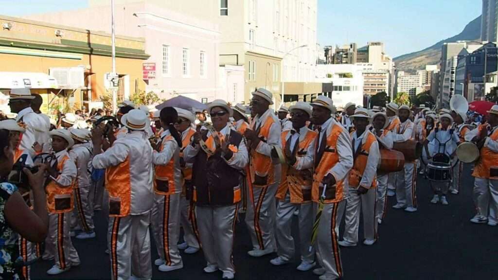
History of Bishop Lavis
Province; Western Cape
Coordinates; 33°56′55″S “18°34′33″E
Area 2.58 km2
Municipality; city of Cape Town
Bishop Lavis is east of the City of Cape Town near the Cape Town international airport. It is a predominantly “coloured” area. Bishop Lavis was established by the apartheid government as a township to accommodate separate “non-white” citizens who were removed from their previous homes.
The postcode for Bishop Lavis is 7490
WEATHER IN BISHOP LAVIS TODAY
SEE ALL LISTINGS IN BISHOP LAVIS
Useful Numbers in Bishop Lavis
- Police: 021 935 9802
- Traffic department
- Fire: Belhar 021 480 7700
- Water: 0860 103 089
- Electricity: 0860 103 089
- Ambulance: 10177
- Post office; 021 934 6551
- Closest hospital;
- community health centre 021 934 6050
- Pharmacy; MediRite Bishop Lavis – 021 934 2363
- Bishop Lavis civic centre:021 444 0517
- Matroosfontein Civic : 021 444 0916
- Nooitgedacht Hall:021 444 0516
- Valhalla park community centre: 021 444 0516
- Bishop Lavis Civic Centre: 021 444 0517
- Netreg Community Centre;021 400 2856
-
Nooitgedacht Community Hall:021 444 0516
-
FSD Hall community hall:021 444 0916
- Library: 021 400 5427
- SPCA: Cape of Good Hope SPCA-021 700 4140
- Schools Bishop Lavis high 021 934 1005
Bishop Lavis primary:
Helderberg; 021 934 1050
Hillside Primary School-021 392 5230
Bergville Primary School-021 934 6453
Riverton Primary School-021 934 1015
Greenlands Primary School-021 934 6029
Nooitgedacht Primary School-021 934 6019
John Ramsay High School-021 934 6427
Lavisrylaan Primary School-021 931 3562[/vc_column_text]


